CLICK ME!
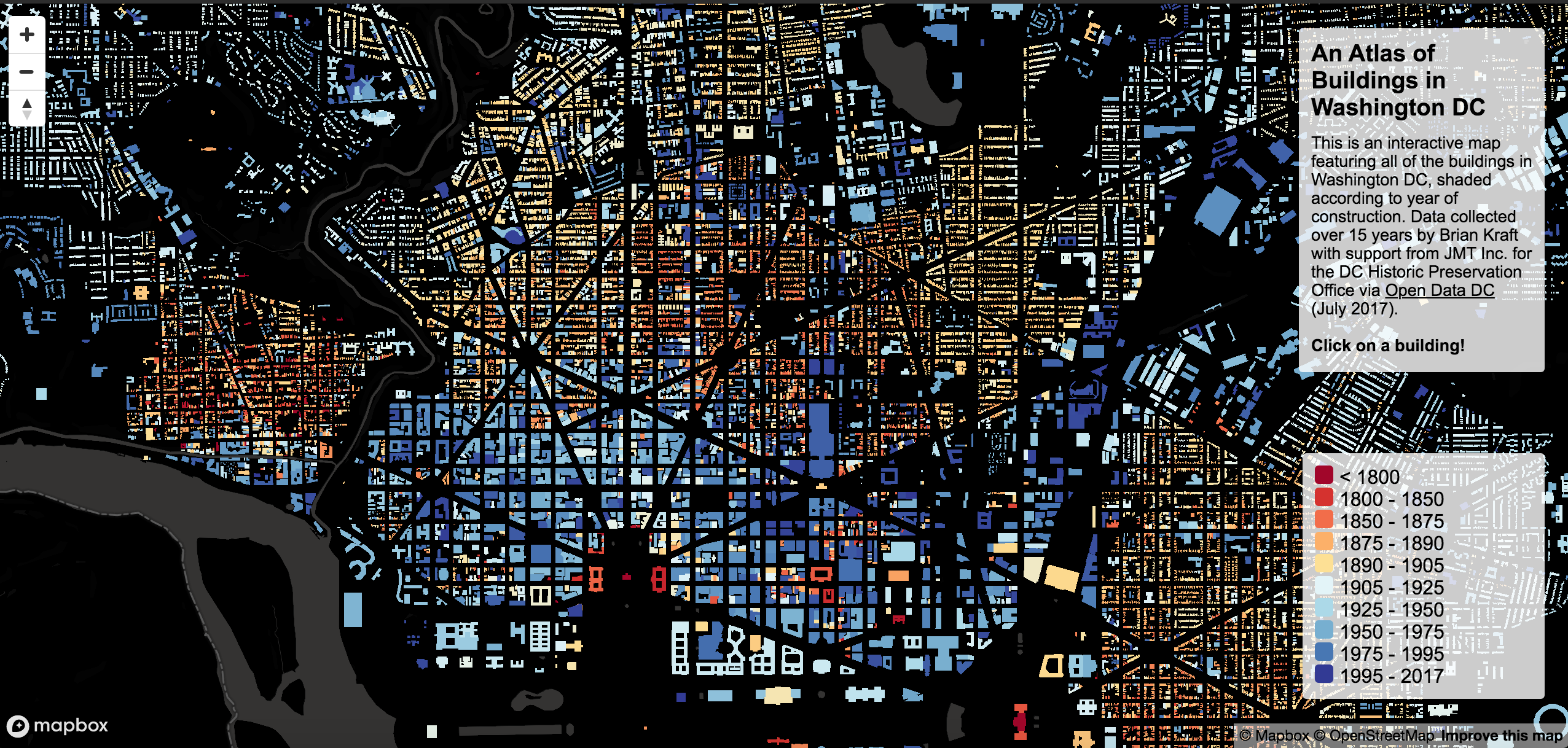
An interactive atlas of the buildings of Washington DC that gives the user to opportunity to click, scroll, and explore our nation's capitol through the lens of building construction. The mapping application, built using Mapbox and OpenStreetMap, highlights the small number of buildings remaining from the early 1800s, as well as the building boom that occurred in the late 1800s - early 1900s. The data that was used to create this interactive map was collected over 15 years by Brian Kraft, with support from JMT Inc., for the DC Historic Preservation Office.
Tools: Mapbox