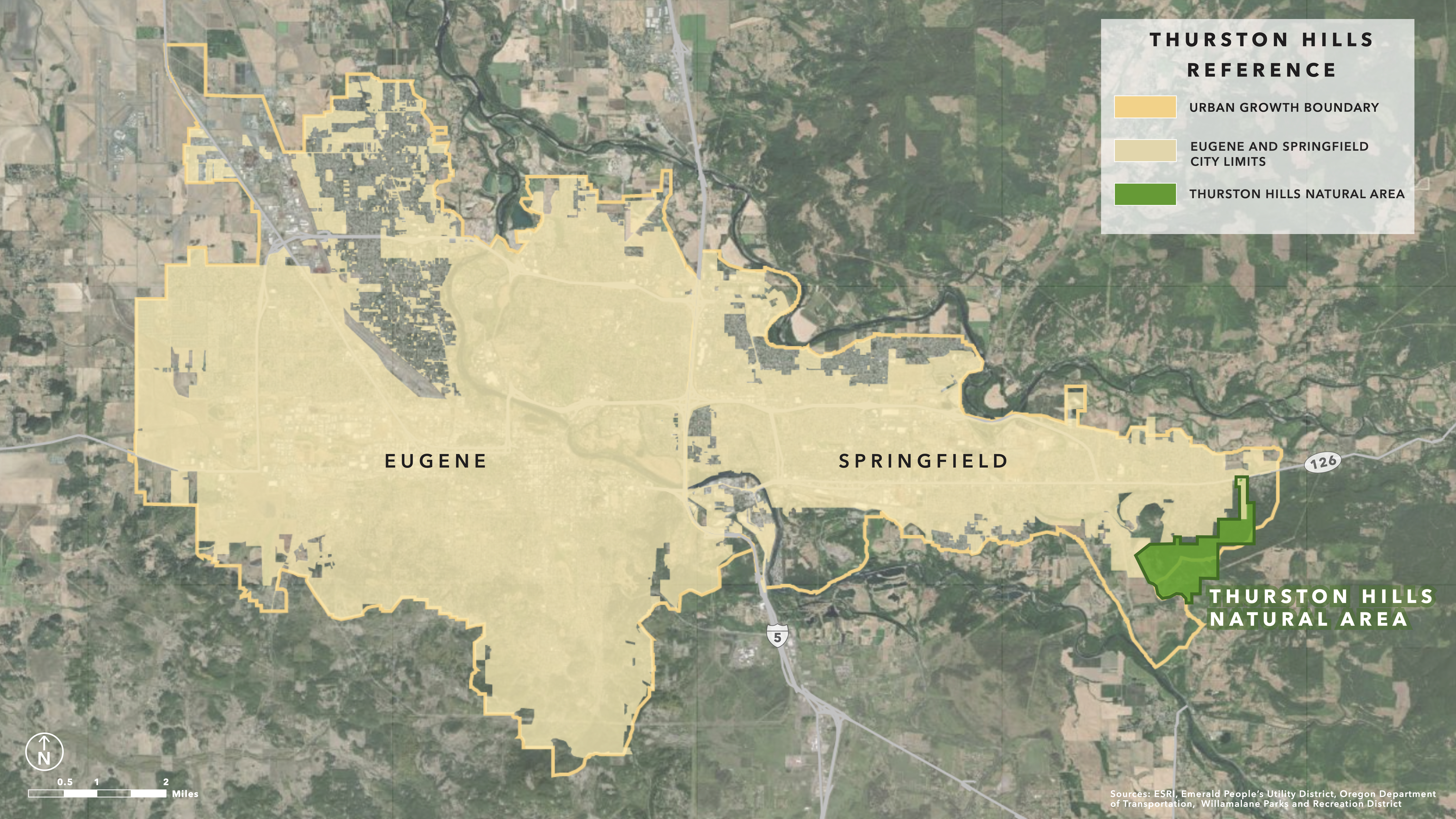
A basic reference map of the Thurston Hills Natural Area, located off of Highway 126 in Springfield, Oregon. The map was included in a grant proposal written for the Willamalane Parks and Recreation District, and was used in academic conference presentations relating to the grant proposal. The map emphasizes Thurston Hills Natural Area's position within the Urban Growth Boundary of Eugene and Springfield, which limits the types of restoration that can take place in the area, ruling out fire as a restorative tool on the landscape.
Tools: ArcGIS Online, Adobe Illustrator