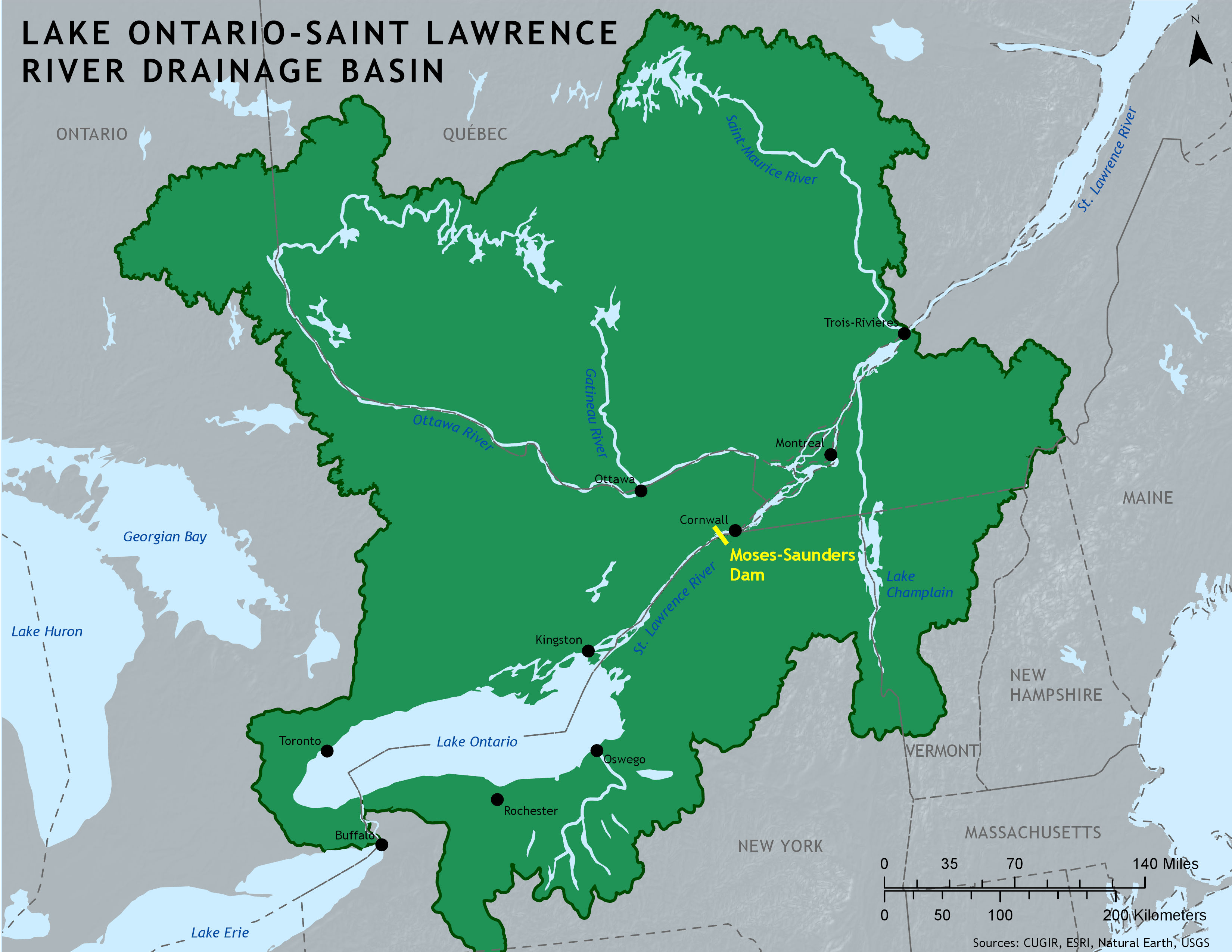
A static reference map of the Lake Ontario - St. Lawrence River Basin, located on the borders of New York and Vermont, up into Ontario and Quebec. The map was used in academic conference presentations for a research project exploring resident opinions on the flooding that occurred along the shore of Lake Ontario in New York from 2017 to 2019. The map highlights the Moses-Saunders Dam, the source of the controversy of outflow levels into Lake Ontario from the St. Lawrence River.
Tools: ArcMap, Adobe Illustrator