CLICK ME!
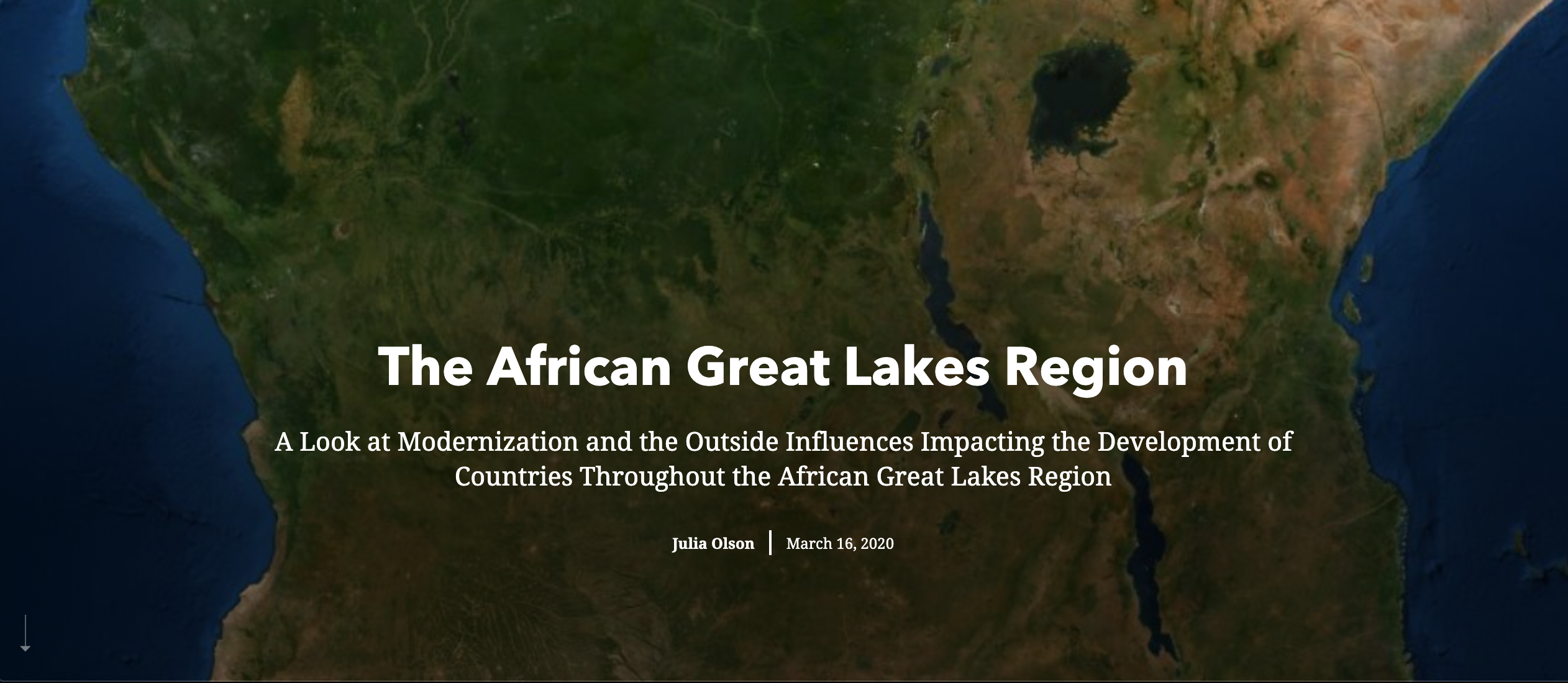
An ESRI StoryMap centering around the African Great Lakes Region, which includes the countries of Burundi, the Democratic Republic of the Congo, Kenya, Malawi, Rwanda, Tanzania, and Uganda. This application takes a look at modernization and the role that outside influences play on development in the region, and attempts to come to conclusions about what the case studies can tell us about where the region is heading in the future. The StoryMap includes reference maps that I created specifically for the application, as well as case studies relating to the themes of urban development and planning, resource conflicts, foreign investments, and more.
Tools: ESRI StoryMaps, ArcGIS Online